MAPPING CONEY ISLAND
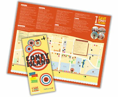
We published a short print-run of 1000 maps to demonstrate just how valuable a free visitor map could be – and it was very well received.
Download a PDF of the map here.
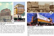
In an effort to showcase Coney Island as the Playground of the World and draw attention to Coney Island’s endangered historic legacy, Save Coney Island teamed up with designer Naomi Donabedian to create a map that has all of the local attractions, a calendar of events, a brief history of Coney Island, and a summary of the current state of development in your favorite amusement destination.
Next summer, we plan to distribute a far larger number of maps. We are currently developing a distribution plan and identifying potential funding sources to print the map.


